
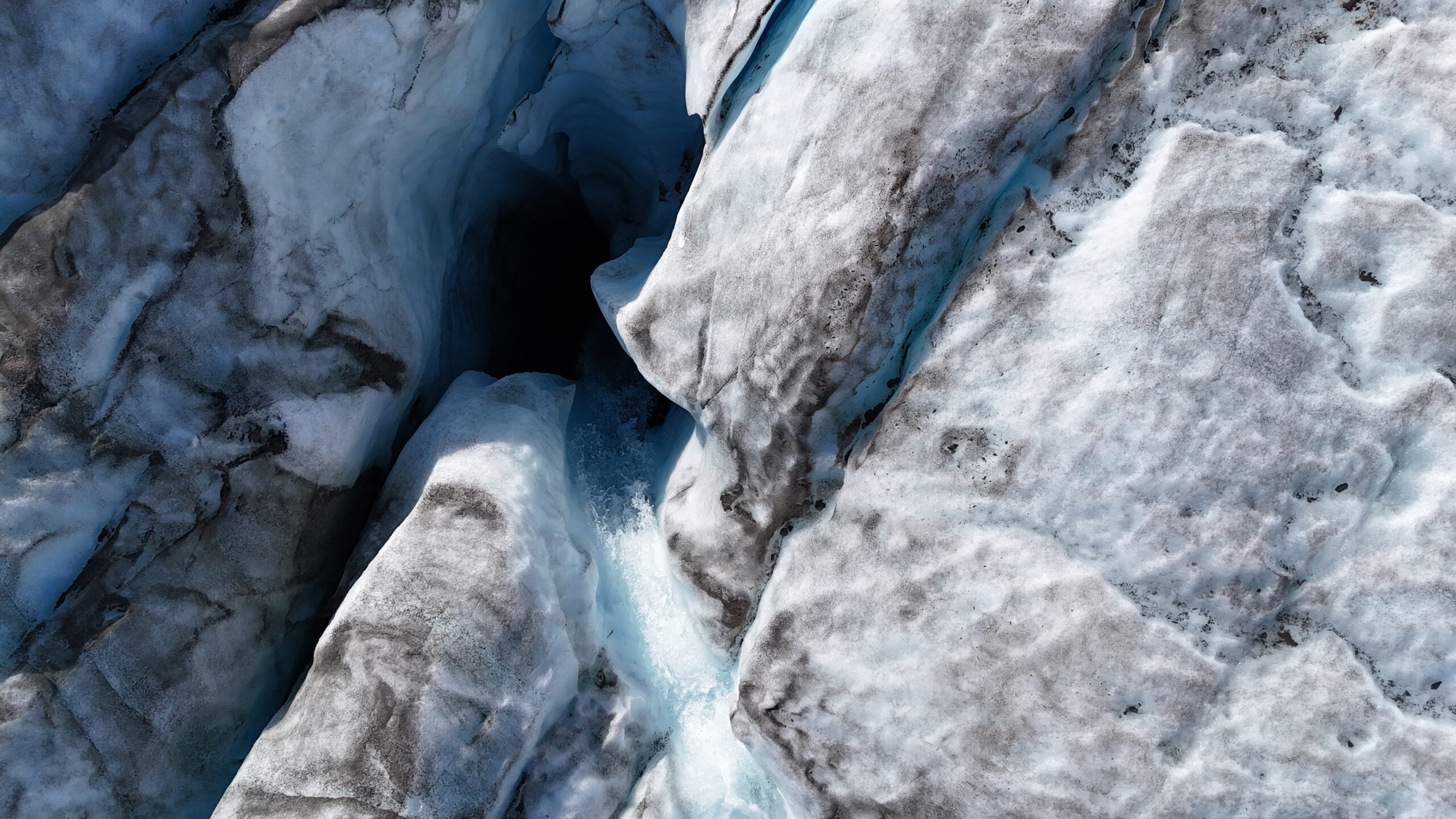
Credit: Dr Sammie Buzzard
About IMBIE
A groundbreaking international collaboration bringing together the world's leading ice sheet scientists to provide the most accurate assessments of ice sheet mass balance.
What is IMBIE?
The Ice sheet Mass Balance Inter-comparison Exercise (IMBIE) began in 2011 as a community effort to reconcile satellite measurements of ice sheet mass balance. It brings together polar scientists from around the world, with support from ESA and NASA, and its assessments inform the reports of the Intergovernmental Panel on Climate Change (IPCC).
An ice sheet is a mass of glacial ice covering more than 50,000 square kilometres. Only two remain today, in Greenland and Antarctica. Between them they hold enough frozen water to raise global sea level by around 65 metres, and both are now losing mass faster than at any point in the satellite record.
Measuring this loss from space is harder than it sounds. Three independent techniques exist, each sensitive to a different set of errors, and for many years they did not agree. IMBIE was created to close that gap: to bring the community's estimates together, measure how far they diverge, and publish a single reconciled record that others can build on.
The most recent assessment combined 42 independent satellite surveys of ice sheet mass balance, drawing from 27 satellite missions (Otosaka et al., 2026) . The findings show the two ice sheets lost 11,309 billion tonnes of ice between 1979 and 2023, pushing global sea levels up by 31.4 millimetres. 84% of Greenland and Antarctica ice loss was driven by glaciers speeding up and pouring more ice into the ocean, with just 16% due to surface melting.
Key Objectives
Measurement Techniques
IMBIE combines three complementary satellite techniques to provide robust estimates of ice sheet mass balance
Altimetry
Radar and laser altimeters, from missions including ERS, Envisat, CryoSat-2, and ICESat-2, measure changes in the height of the ice sheet surface. Converting height change into mass requires knowing the density of what was gained or lost.
Gravimetry
GRACE and GRACE-FO detect the minute changes in Earth's gravity field caused by the redistribution of ice mass. The measurement is direct but spatially coarse, and it must be corrected for the slow rebound of the bedrock beneath the ice.
Input-Output Method
This method takes the difference between the mass gained at the surface, through snowfall minus melt and runoff, and the ice discharged into the ocean. It combines regional climate model output with satellite measurements of ice velocity from missions such as Sentinel-1.
Our Team
IMBIE is powered by a dedicated directory of executive committee members, scientific experts, and technical personnel.
Executive Committee (EC)
The IMBIE Executive Committee (EC) facilitates scientific progress within the project and constitutes the decision making process. The main role of IMBIE-EC is to design, update and oversee the project framework and to lead the activities of the independent experiments. It also keeps track of the wider activities and progress of IMBIE via regular updates from the Co-Leaders. IMBIE-EC is chaired by the Co-Leaders and includes members with technical and scientific expertise on each of the independent experiments carried out by the project. It also includes members representing stakeholder bodies.
-
 Andrew ShepherdCo-lead
 -
 Inès OtosakaCo-lead
 -
 Tyler SutterleyCo-lead
 -
 Ben SmithEC Member
 -
 Isabella VelicognaEC Member
 -
 Eric RignotEC Member
 -
 Michiel van den BroekeEC Member
 -
 Erik IvinsEC Member
 -
 Nicole SchlegelEC Member
 -
 Sophie NowickiEC Member
 -
 Tony PayneEC Member
 -
 Marcus EngdahlEC Member
 -
 Charles AmoryEC Member
 -
 Louise Sandberg SørensenEC Member
 -
 Karen SimonEC Member
 -
 Martin HorwathEC Member
 -
 Michalea KingEC Member
Technical Team
Software development and technical support for the project are provided by the organisation isardSAT.
-
 Mark PattleSoftware Engineer
 -
 Gorka MoyanoSoftware Architect
Former Members
Previous Executive Committee members
-
 Pippa WhitehouseEC Member
 -
 Gerhard KrinnerEC Member
 -
 Ian JoughinEC Member
 -
 Ted ScambosEC Member
Contributing Institutions
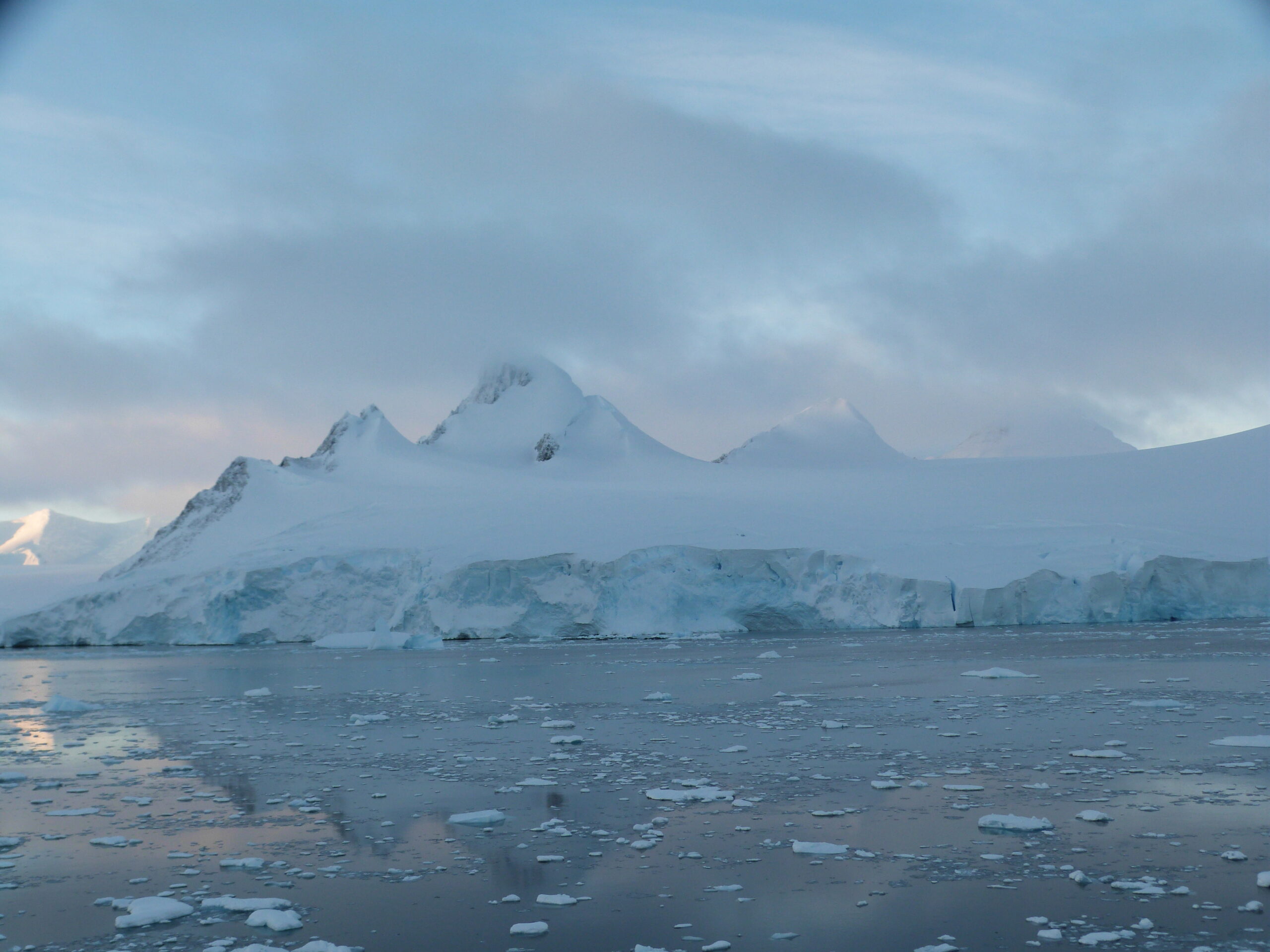
Credit: Dr Sammie Buzzard
Our Partners
IMBIE is a joint initiative of the world's two leading space agencies, supported by key technical contributors.
ESA
ESA supports IMBIE through its Climate Change Initiative and operates missions central to the assessment, including CryoSat-2, Sentinel-1, and Sentinel-3, alongside the ERS and Envisat archives.
NASA
NASA supports IMBIE and operates missions central to the assessment, including ICESat-2 and GRACE-FO, together with the former Operation IceBridge airborne campaign.
isardSAT
isardSAT is an Earth observation research and development company specialising in microwave remote sensing, with particular expertise in radar altimetry, one of the core techniques behind the IMBIE record. It develops IMBIE's software, data infrastructure, and interactive web architecture.